Map
View detected dumpsites on map, add ignore zones
Open Layers, Layer switcher, change base map, view terrain, adjust color and opacity
Direct GeoTiff Injection, review historical image layers of areas of interest
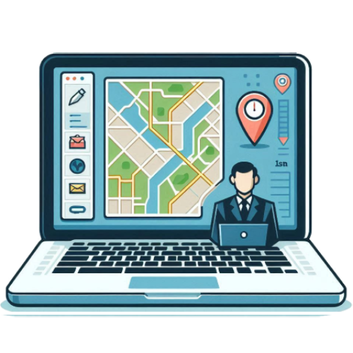
Map Configurator
Configure the map to fit your needs
Customize layers, base maps and more ...
Further Development: GeoServer Integration ...
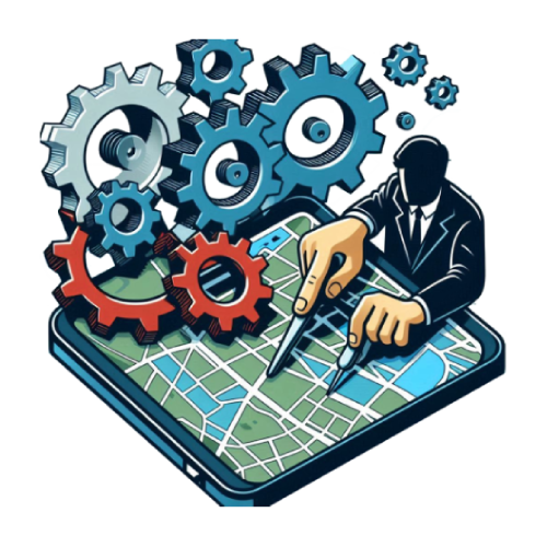
Dataset Management
Manage extensive datasets of drone and satellite images
Tools for uploading, categorizing, and maintaining image data
Features include tagging, filtering, and robust data integrity checks
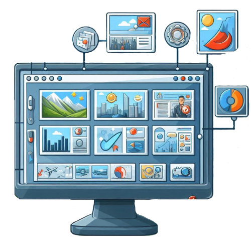
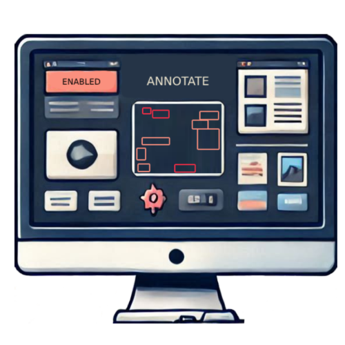
Image Annotation
Annotate high-resolution drone and satellite imagery
Draw, adjust and enable/disable bounding boxes
Further Development: Segmentation polygon annotation
AI Model Training
Train proven AI model architectures with your custom datasets
Reinforce your custom-trained models as more data comes in

Input images on which detection will be run
Load input images as Map Layers
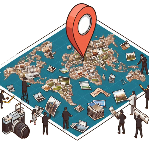
Detection and Monitoring of Waste Dumpsites
Detect using custom-trained models
Visualize results on georeferenced maps

Scheduled Runs
View status of Scheduled Runs
Cancel on demand

Landfill Management
Advanced tools for legal landfill management
Waste form submission integration
3D Point-Cloud
3D Point-Cloud scan integration
View and Compare 3D scans

User Management
3D Point-Cloud scan integration
View and Compare 3D scans

Audit Logs
3D Point-Cloud scan integration
View and Compare 3D scans

Application Settings
Save and Configure your own application settings
Run the App Your Way

Localization
Add Localization for your App
Support as many languages as you want


